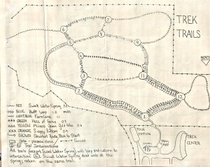
Pictured are early illustrated maps of Northwest Trek, ca. 1977.
Maps Courtesy of Lora Langberg, who has an extensive collection of Northwest Trek clippings from its inception.
Click on image to enlarge.

Pictured are early illustrated maps of Northwest Trek, ca. 1977.
Maps Courtesy of Lora Langberg, who has an extensive collection of Northwest Trek clippings from its inception.
Click on image to enlarge.


2 responses to “Early Maps of Northwest Trek (ca. 1977)”
Wonderful site and great historic information!
LikeLike
Thanks!
LikeLike