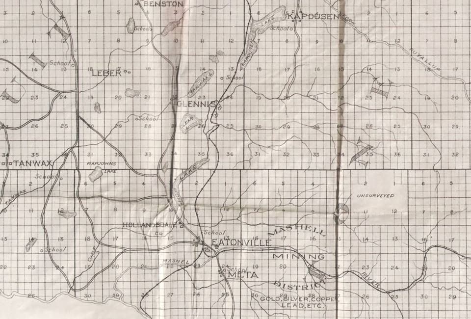
These wonderful maps of the area, including this first one created in 1897, come to us via Abbi Write Wonacott. There are a few names here you don’t hear any more, like Glennis, Hollandale and Leber. You might also notice Kapowsin has a different spelling.
Abbi Wright says, “Kipowsin was the word for slow water.”
Mary Schactler, who lives on the original Campbell homestead, says the map was drawn up, “When Campbell Lane was the old road to Eatonville (through sections 9 and 10).”
Enjoy taking a closer look!
Click on images to enlarge.
