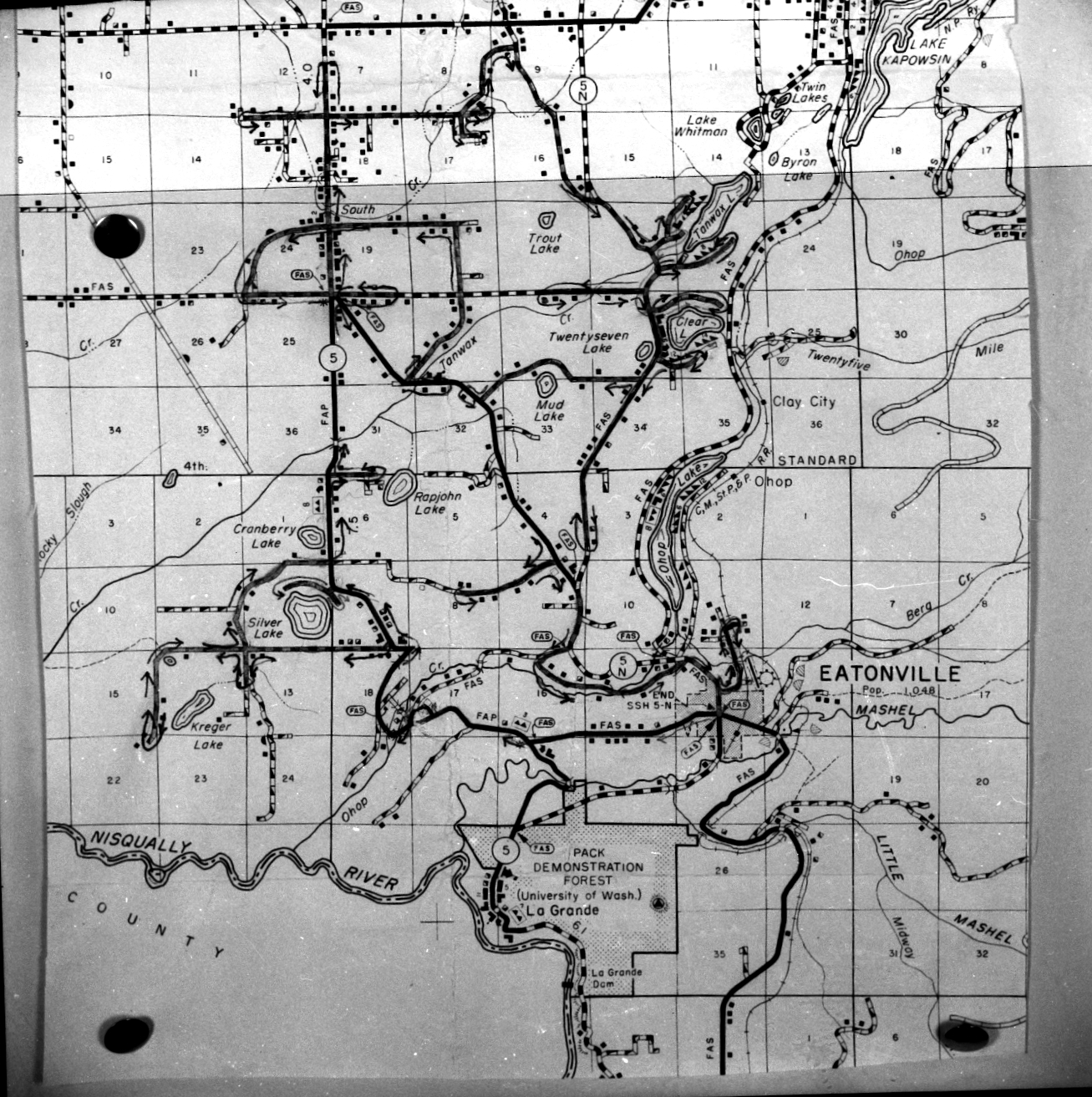
Love maps, and this one is a “rural map” of the area from 1963 — from about the Nisqually River to Lake Kapowsin. You can see the tacks where it was pinned to a wall.
If anyone knows what it was used for, please share.
Photo courtesy of the Baublits family.
Click on image to enlarge.
