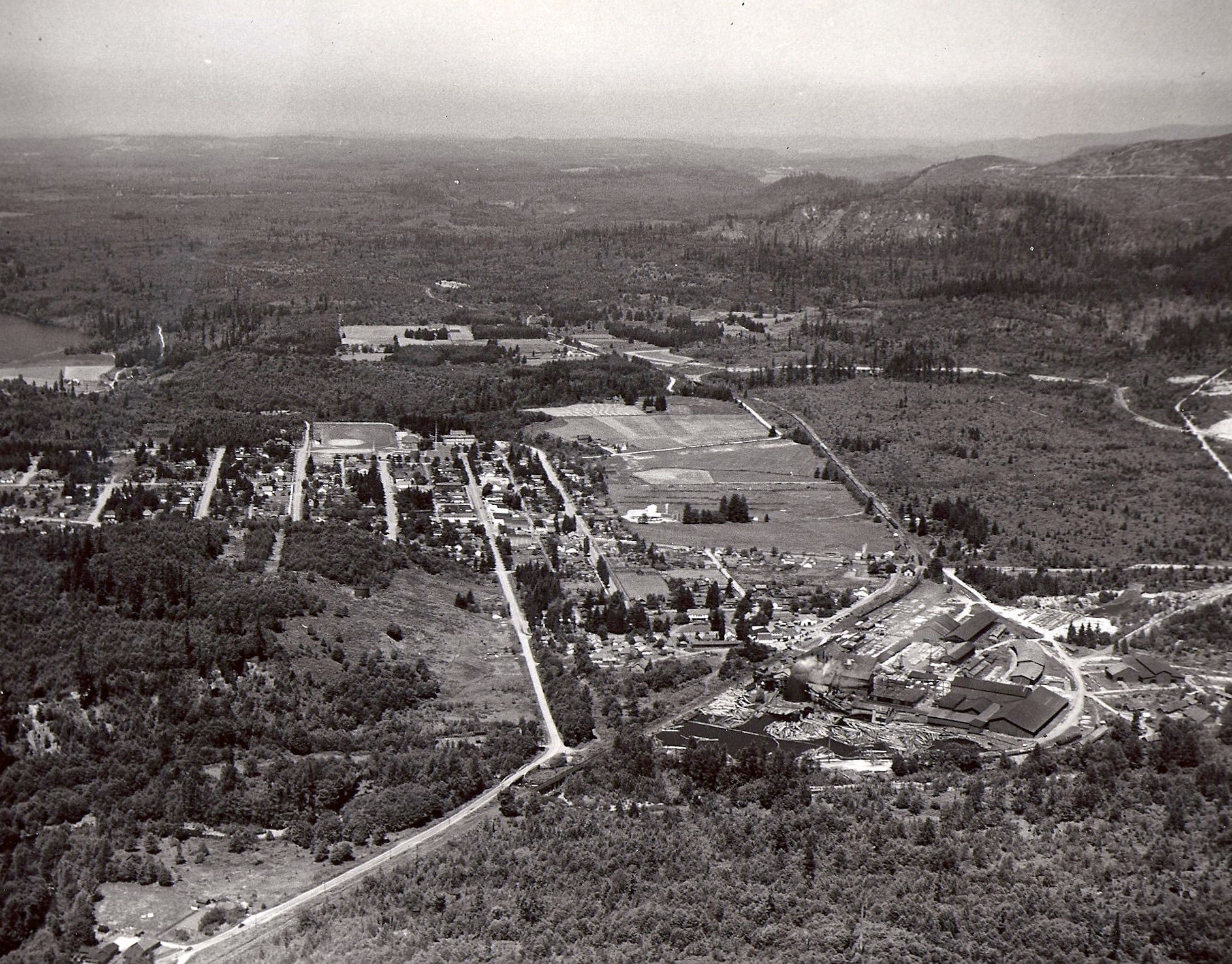
This picture of Eatonville ran in a paper September 1, 1946.
Caption with Picture: Eatonville, named for T. C. Van Eaton, who platted its townsite in 1888, was in early days surrounded by dense, virgin forest. Its location on the line of the old Tacoma Eastern Railroad made it one of Washington’s most important lumber-producing and log-shipping centers. The largest part of the merchantable timber has been logged, off, however, and Eatonville it today largely dependent upon agriculture for revenue and employment, although some logging and lumbering operations still continue to the present.
You can zoom in and really see the details like the school, the mill, Mashell Ave., Washington Ave. etc.
The year 1946 is an important one to my family. My grandparents bought the dairy in Ohop Valley (not pictured) from the John and Lena Malm that year.
Photo courtesy of Diane Mettler.
Click on image to enlarge.
